
INCOIS (Indian National Centre for Ocean Information Services) uses a multi-faceted communication network to disseminate ocean-related information and warnings. This includes using its website, email, mobile phones, local cable TV, radio, social media, and collaborations with NGOs and research centers. They also leverage technologies like GAGAN and NAVIC for satellite-based dissemination to offshore users and provide alerts via SMS to fishermen.
Computing Facilities: Planning, implementation, and continuous augmentation of IT infrastructure, including system administration, management of data centres, disaster recovery sites, IT security frameworks, and overall hardware-software management are central to ensuring the robustness and reliability of operational services.
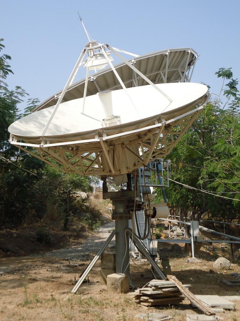
Communication Facilities: This includes the planning, development, and enhancement of communication infrastructure, integrating various communication channels with observation platforms and dissemination systems such as GAGAN, NAVIC, and Electronic Display Boards (EDBs). These systems ensure real-time and multi-platform delivery of critical advisories to end-users across coastal regions.
In addition to these conventional and digital platforms, INCOIS has developed specialized mobile applications tailored for different stakeholder groups, such as fishermen, coastal communities, and disaster management authorities. These applications provide real-time alerts, ocean state forecasts, potential fishing zone advisories, and emergency warnings directly to the end-users’ devices, ensuring timely and actionable information even in remote areas.
Recognizing the importance of localized dissemination, INCOIS actively partners with coastal state governments and community-level organizations to relay critical advisories in vernacular languages through community radio stations and local cable networks. This approach ensures that vital ocean information reaches vulnerable populations in a format that is easily understood and acted upon.
To enhance offshore communication, INCOIS utilizes satellite-based systems such as GAGAN (GPS Aided GEO Augmented Navigation) and ISRO’s NAVIC (Navigation with Indian Constellation) services. These systems enable real-time data transmission and location-based alerts for fishing vessels and offshore platforms, significantly strengthening maritime safety and disaster risk reduction efforts.
Furthermore, INCOIS operates a robust email and SMS-based alerting system for registered users, including government agencies, port authorities, coastal security forces, and research institutions. Regular bulletins and forecast updates are also published on the official website and social media channels, ensuring widespread and transparent access to crucial ocean information services.
Through this integrated, multi-layered communication strategy, INCOIS ensures reliable, timely, and inclusive dissemination of ocean advisory services, contributing to enhanced coastal resilience, sustainable resource management, and national disaster preparedness.


