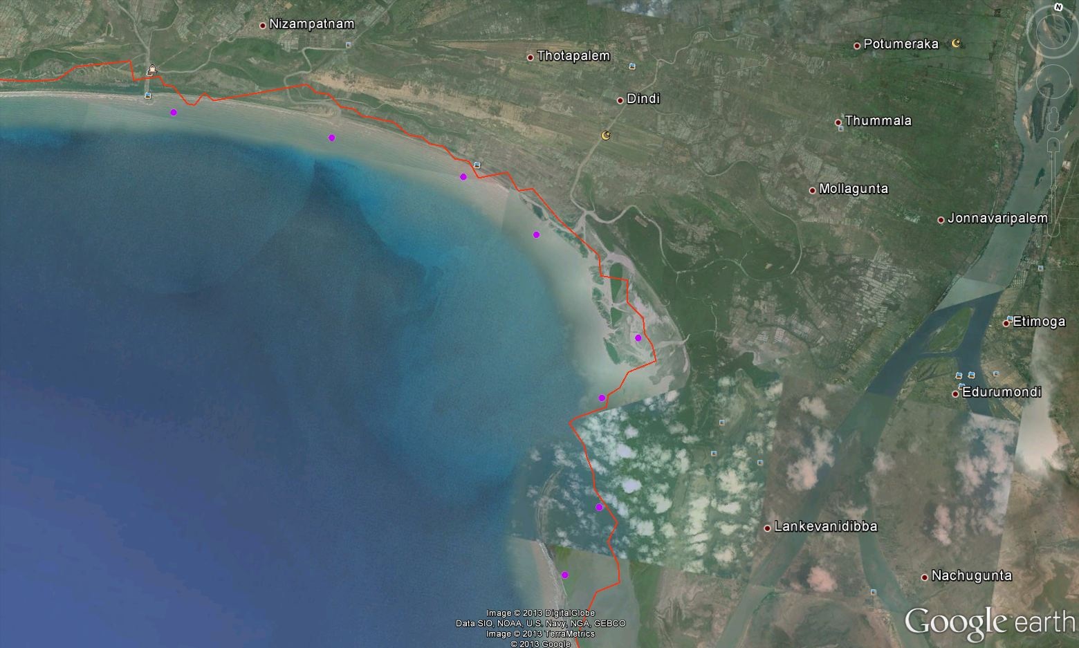
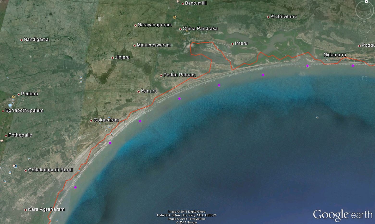
- SURGE MAP
- FORECAST INFORMATION
- IMD CYCLONE FORECAST


| EVENT SUMMARY | |
|---|---|
| Cyclone Name | LEHAR | EXPECTED PLACE OF LAND FALL | NEAR MACHILIPATTANAM, ANDHRA PRADESH |
| EXPECTED TIME OF LAND FALL | AROUND NOON OF 28TH NOV 2013 |
| Expected wind speed | 150-160 KMPH |
| Max expected Surge | 1.7 M NEAR INTERU, KRISHNA DT., ANDHRA PRADESH |
| MAX EXPECTED INUNDATION EXTENT | 3.2 KM AT RIVER BACKWATER NEAR INTERU,KRISHNA DT., ANDHRA PRADESH |
| SURGE HEIGHT INFORMATION | |||||||||||||||
|---|---|---|---|---|---|---|---|---|---|---|---|---|---|---|---|
Details of surge heights expected at different coastal locations are listed below. * The below listed water level and inundation extent includes tide but does not includes precipitation and river discharge.

|
| ADVICE |
|---|
|
This bulletin is being issued as advice. Only national/state/local authorities and disaster management officers have the authority to make decisions regarding the official threat and warning status in their coastal areas and any action to be taken in response. |
| NEXT ADVISORY |
|---|
|
Next intermediate advisory will be issued by INCOIS as and when forecast parameters available from IMD. |
| CONTACT INFORMATION |
|---|
|
Indian Storm Surge Warning System (SWS) Indian National Centre for Ocean Information Services (INCOIS) Address:"Ocean Valley", Pragathi Nagar (BO), Nizampet (SO), Hyderabad - 500 090, India. Tel: 91-40-23895011 Fax: 91-40-23895012 Email: stormsurge@incois.gov.in Website: www.incois.gov.in |