 |
|
|
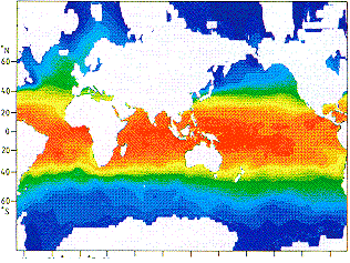
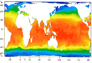
A comparison of three projections. Left: Mercator projection, middle: Gall/Peters (equal area) projection, right: an example of an equal area projection with curved coordinate grid (Mollweide projection). The coloured maps show sea surface temperature; they give identical information - differences of appearance are exclusively the result of different projections.
Compare the maps by locating the equator, noting the distance variation between successive latitudes, and trying to determine the longitude of your home town or university.
contact address: