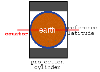
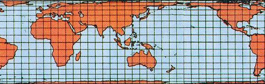
Area conserving projections based on a rectangular latitude/longitude grid have been known for over 300 years. They are all members of a family known as cylindrical equal-area projections and are produced by projecting the surface of the earth onto the surface of a cylinder. They differ by the choice of the base latitude, i.e. the circle where the spherical earth intersects or touches the cylinder.
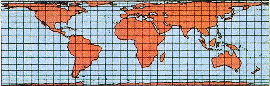
In 1772 the German cartographer Johann Heinrich Lambert used the equator as reference latitude, i.e. he projected the earth's surface outward onto a cylinder that touches the earth at the equator. The diagram on the right illustrates this: All points on the earth's surface are projected out to the cylinder, parallel to the equator. The result is a map of the earth on the white part of the cylinder.