 |  |
| |
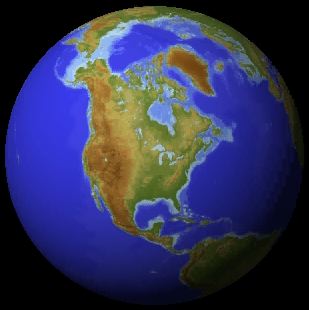
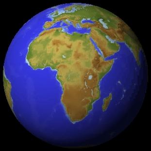
Photographic views have become common with satellite images from great height, such as stationary weather satellites. Photographic views are not a cartographic projection and therefore do not conserve any property but the overall shape of the earth.
In earth sciences applications, fidelity of area is often more important than fidelity of angle (the property of the Mercator projection). In oceanography for example a map of sea surface temperature can give an idea of the importance of the tropics in air/sea interaction if the map displays areas correctly.
The next page gives examples of "equal area projections", i.e. maps with fidelity of area.
Note that fidelity of area should not be confused with fidelity of distance (a property most desirable for a road atlas!). Cartographers can prove that no projection can conserve distance over the entire map surface; in other words, fidelity of distance is impossible to achieve.